Building date: Unknown, razed 1889.
Original use: Schoolhouse
Corner structures:
Mortar application and content:
Types and uses of stones:
Types and choice of windows:
Structures with similar masonry details:
Masons who worked on building:
Unique features: Round Jug School House
Map views courtesy Google Maps. Address is Google Earth confirmed; 43°01'10.29"N 76°59'54.36"W.
Town of Lyons and Wayne County Maps
Jennings Round Jug School House, Dist. No. 3 (Jennings District) history sheet. From the personal research of cobblestone historian Karen Crandall.
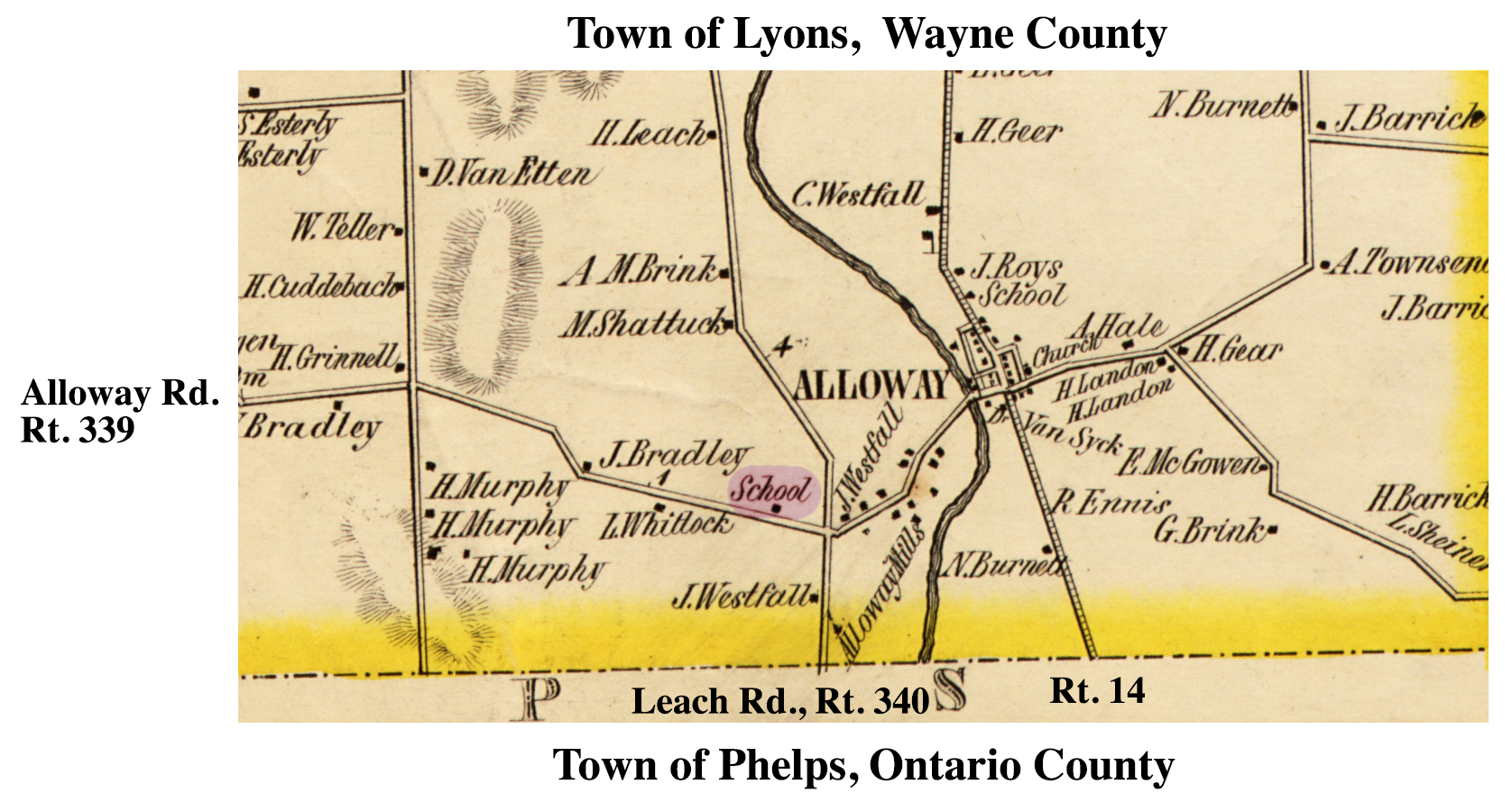 1853 Wayne County Jennings School Excerpt Map.jpg ¹ | 
|
¹ 1853 Wayne County Lyons-16 Excerpt Map courtesy Library of Congress.
